
How to Track Friends on a Road Trip: 4 Ways Compared (Cars & Bikes)
Google Maps sharing, WhatsApp live location, family-locator apps or a group navigation app? An honest comparison for multi-car convoys and mixed car-and-bike trips.
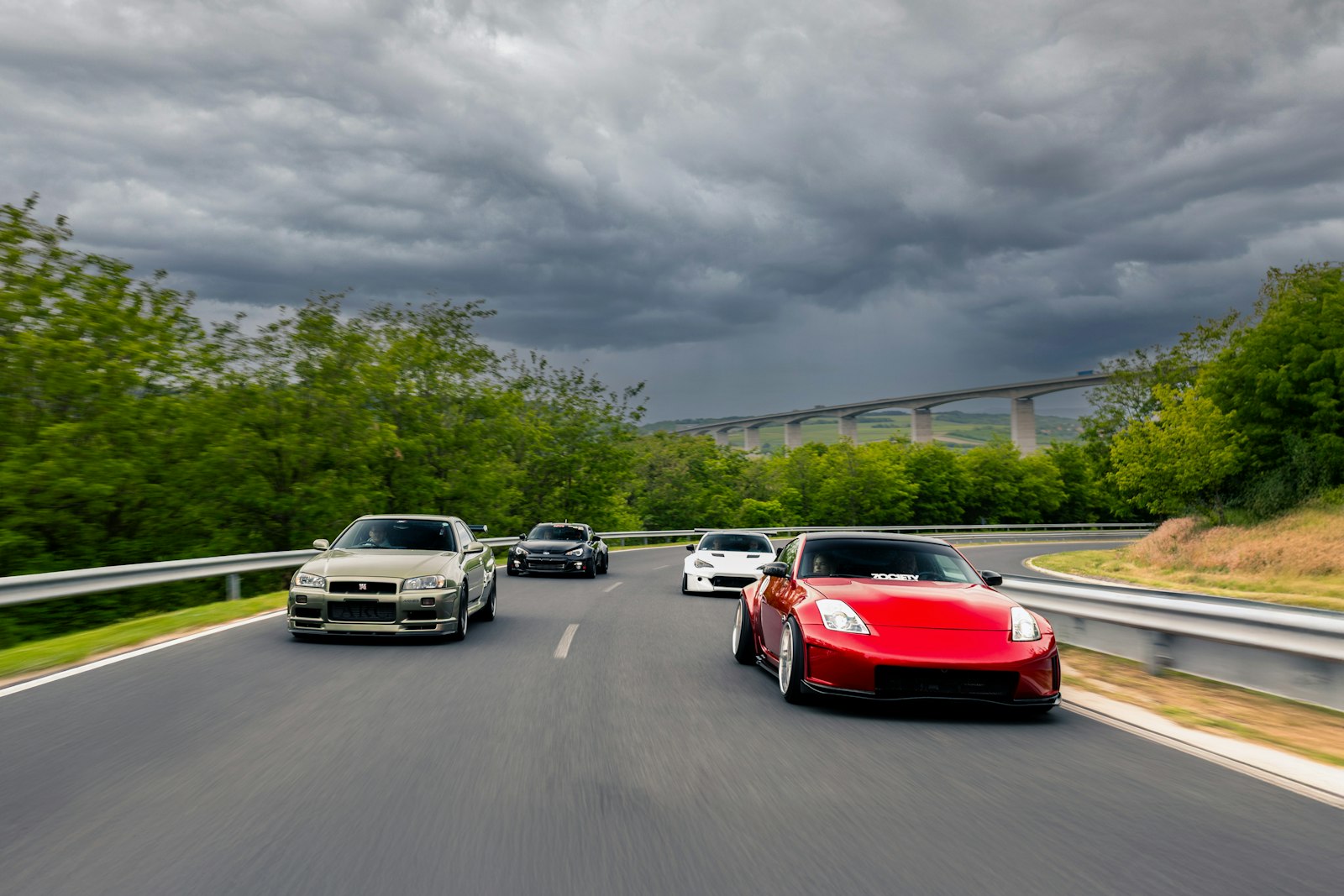
Quick answer: What is the best way to track friends on a road trip? For a short drive with two cars, Google Maps location sharing or WhatsApp live location is usually enough. For a longer road trip with several cars or a mix of cars and motorcycles, a group navigation app such as WANDR works better, because every vehicle follows the same planned route with stops and the whole group appears on one live map. Whichever tool you choose, agree the route, the stops and who leads before anyone leaves.
If you want to track friends on a road trip, seeing their dot on a map is the easy part. The harder part is keeping three cars on the same road, knowing who has reached the lunch stop, and not making the driver check a phone at 90 km/h.
This guide is for trips with two or more cars, or mixed groups where some people drive and some ride. If your group is all motorcycles, read how to track friends on a motorcycle ride instead. Below, we compare four approaches honestly.
What is the best way to track friends on a road trip?
The best way to track friends on a road trip depends on how many vehicles you have and whether everyone needs to follow the same route.
Two cars with no planned stops can use what everyone already has. Three or more cars, or a plan with fuel and food stops, need a tool that links location to the route. Here is how the four common methods compare.
| Method | Setup | Shared route with stops | Turn-by-turn in the same app | Arrival at stops | Best for |
|---|---|---|---|---|---|
| 1. Google Maps location sharing | Each person shares with each other person | No | Yes, but each car navigates on its own | No | Two cars, or family checking in from home |
| 2. WhatsApp live location | Each person starts a timed share in the group chat | No | No | No | Short drives and quick meet-ups |
| 3. Family-locator apps | Everyone joins a long-running "circle" | No | Usually no | Place alerts at saved locations | Ongoing family safety, not single trips |
| 4. Group navigation app (e.g. WANDR) | Everyone joins one group with a code | Yes | Yes | Yes, the group sees who has arrived | Multi-car convoys and mixed car-and-bike trips |
1. Google Maps location sharing
Google Maps location sharing lets you show your live position to specific people, either for a set time or until you turn it off.
Setup: In Google Maps, open your profile, choose Location sharing, then New share, and pick the people. Each share is person to person.
What it does well: Almost everyone has it, and people you share with can see your phone's battery level.
The shared-route problem: Each driver runs their own navigation session. If traffic builds between the lead car and the last car, Google Maps may suggest a different route to the last car, and the convoy splits without anyone deciding to split it. We go into this in detail in Does Google Maps have a convoy mode?
Stop coordination: There is no shared list of stops, so someone still has to message "we're at the dhaba, where are you?"
2. WhatsApp live location
WhatsApp live location shares your position in a chat for 15 minutes, 1 hour or 8 hours.
Setup: In the group chat, tap attach, then Location, then Share live location, and choose a duration. Every person has to do this themselves.
What it does well: Nothing to install, and the trip chat is already there. For a two-hour drive, it often works fine.
The gaps on a convoy: Shares end on a timer, so on a long day someone has to notice and restart them. Locations appear as pins in a chat, not along a planned route. And checking a chat map is a passenger's job, never the driver's. Our WANDR vs WhatsApp live location comparison covers this in more depth.
Stop coordination: Done by typing in the chat, which works if every car has a passenger.
3. Family-locator style apps
Family-locator apps keep a small, long-running group (often called a circle) visible on a map all the time.
Setup: Everyone installs the app and joins the circle. Location keeps sharing in the background until someone leaves the circle.
What they do well: They are built for ongoing family safety, and many offer alerts when someone arrives at or leaves a saved place.
The gaps on a road trip: They are designed around daily life, not a single trip. There is usually no planned route, no turn-by-turn navigation and no list of trip stops, and friends may not want a sharing circle that keeps running after they get home. Saving each stop as a place works, but it's extra effort for a one-off trip.
4. A group navigation app like WANDR
A group navigation app links live location to one shared route, so every vehicle navigates the same plan and sees the rest of the group on the same map.
Setup: In WANDR, the organizer creates a group and shares an 8-character join code. The organizer plans the route once with multiple stops (tap to add, drag to reorder) and can save it as a template for the next trip. The planned route is cached on each phone. Group members can be Admin, Co-admin or Member, so a second organizer can help manage the trip.
During the trip: Every driver and rider appears on one live map, and turn-by-turn navigation runs inside the app using the Google Maps Navigation SDK. When someone reaches a waypoint, WANDR detects it and the group sees the arrival progress, so nobody has to call the lead car to say "we're here."
Mixed cars and bikes: Drivers and riders use Rider mode, with full navigation and frequent location updates. Passengers in a car can use Passenger mode, a view-only map that uses less battery and data. A passenger can also send text, photos or voice messages in the group chat.
The honest gaps: Everyone has to install the same app, and WANDR is currently Android only (Android 7.0 and up). iPhone users can join the iOS waitlist but need another method for now. More on the category in what a group navigation app is.
How does battery use compare when tracking friends on a road trip?
Every live location method uses GPS and mobile data, so battery planning matters more than which app you pick.
- Charge in the car, and use a USB charger on any bikes.
- Run one location tool, not three. Three apps using GPS on one phone drain it fast.
- Give passengers a lighter role. In WANDR, Passenger mode skips full navigation, and GPS updates happen less often when a vehicle is stopped.
- Keep the phone out of direct sun. A hot phone on a windshield mount drains faster and can slow down.
How do you coordinate stops in a road trip convoy?
Stops are where convoys come back together, so the plan should name them before the trip starts.
Pick regroup points right after anything that splits a convoy: toll plazas, city exits and highway interchanges. Put fuel and food stops in the plan, not in the chat on the day. The lead car waits at each regroup point until every vehicle has arrived. Our guide to real-time convoy navigation covers lead and sweep roles for cars.
Road trip convoy checklist
A short checklist covers most of what keeps a multi-car trip together.
- Pick one tracking tool and get everyone set up the night before, not in the parking lot.
- Share one route with named stops: fuel, food and regroup points.
- Assign a lead car and a sweep car. No one drives behind the sweep.
- Put a passenger in charge of the phone in every car. Drivers drive.
- Agree what happens if a car gets separated: carry on to the next planned stop and wait there.
- Charge every phone in the car and bring a power bank.
- Agree when location sharing stops, for example when everyone is home.
Frequently Asked Questions
What is the best app to track friends on a road trip?
For two cars on a short drive, Google Maps location sharing or WhatsApp live location is often enough. For several cars or a mix of cars and motorcycles, a group navigation app such as WANDR is a better fit, because everyone follows one shared route with stops and appears on one live map.
Can I track multiple cars on one map with Google Maps?
Google Maps shows the people who have shared their location with you, so you can see several friends on one map. It does not give every car the same planned route or show who has reached each stop, and each driver's navigation can reroute on its own during traffic.
How do I share live location with a group of friends while travelling?
In WhatsApp, each person shares live location in the group chat for up to 8 hours at a time. In Google Maps, each person shares with each friend. In a group navigation app such as WANDR, friends join one group with an 8-character code and appear on the trip's live map.
A road trip convoy stays together because of the plan, the lead car and the sweep car. The right tracking tool simply makes it easy for everyone to see that plan working.
About WANDR: WANDR is an Android app for motorcycle group rides. It combines riding groups, saved route plans with waypoints, turn-by-turn navigation, a live map of every rider and trip chat in one app, and shows when each rider reaches a stop. It's built for riding clubs, ride organizers and friends riding together. Get WANDR on Google Play.
Related Guides from the Wandr Journal
Your next ride starts with WANDR.
Download free for Android. Keep your crew, your route, and your journey connected on every mile.