
Group Navigation App: How to Navigate Together on One Route (2026)
Location sharing shows where your friends are. A group navigation app puts everyone on the same route, on one live map, with the stops planned in advance.
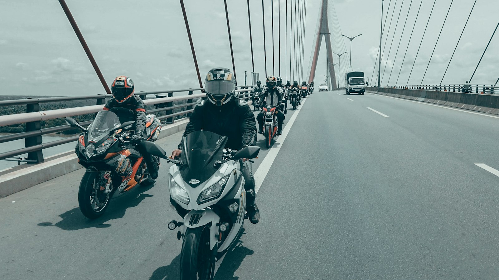
Quick answer: What is a group navigation app? A group navigation app lets several riders or drivers follow one shared route, with planned stops, while every member appears on the same live map. WANDR, an Android group navigation app for motorcycle and car groups, adds turn-by-turn navigation powered by the Google Maps Navigation SDK and notifies the group as each member reaches a planned stop.
Five bikes or three cars, one destination, and a Google Maps link dropped into the group chat the night before. If you're searching for a group navigation app, you already know how that goes. A toll plaza splits the group, one phone suggests a faster bypass, and you end up at a dhaba calling people who can't hear their phones over the wind.
The problem is not the riders or the maps. Every phone is navigating its own trip. A group navigation app is built for the opposite: one trip, shared by everyone in it.
This guide covers what group navigation means, why the usual workarounds fall short, what to look for, and how to set up a ride or drive in WANDR step by step.
What is a group navigation app?
A group navigation app is software that puts a whole group on one planned route and one live map, so everyone navigates the same trip instead of separate ones.
In practice, that means three things working together:
- One shared route. The organiser plans the route and its stops once, and every member follows that same plan.
- One live map. Every member's position shows on the same map during the trip, so you can see the spread of the group at a glance.
- Shared progress. The app knows the planned stops and tells the group who has reached each one, so nobody has to text "reached" from the roadside.
A group navigation app is not a family locator, and it is not a chat app with a map attached. It is navigation designed around a group that is moving together.
Why isn't location sharing the same as group navigation?
Location sharing tells you where people are, but it does not give the group a shared route, shared stops or a shared sense of progress.
Google Maps is excellent at getting one person from A to B. When five people share a route link, each phone runs its own navigation session and calculates its own route, so phones further back may be offered a different road when traffic builds. The app is simply optimising for each person separately. More on this in Does Google Maps Have a Convoy Mode?.
WhatsApp live location is great for meeting up in a city, but it runs for a fixed time window and doesn't know where the group is going. See WANDR vs WhatsApp Live Location for Group Rides.
| What the group needs | Location sharing (Maps or WhatsApp) | Group navigation app |
|---|---|---|
| Same route for everyone | Each phone routes on its own | One planned route shared by the group |
| Planned stops | Agreed in chat, remembered by people | Saved as waypoints in the route |
| Everyone on one map | Separate pins, separate apps | Every member on one live map |
| Knowing who reached a stop | Someone asks in chat | The app detects arrivals and notifies the group |
| Turn-by-turn directions | Yes, but solo | Yes, inside the same app as the group map |
What should you look for in a group travel navigation app?
The right group travel navigation app is the one that removes coordination work from the riders and drivers while they are moving.
Use this checklist before you commit your group to one:
- Route planning with multiple stops: fuel, food, a viewpoint, the hotel, easy to add and reorder.
- A live map of the whole group, not a list of names.
- Built-in turn-by-turn navigation, so nobody switches apps at 80 km/h.
- Arrival awareness at stops, without anyone typing.
- Easy joining with a short code instead of username searches in the car park.
- Sensible battery behaviour: fewer updates when stopped, precise ones while moving.
- A lighter mode for passengers who need the map but not navigation.
- Reusable plans for the Sunday loop your group rides every month.
Motorcyclists can find the rider side of this list in Motorcycle Group Ride App: 9 Features That Matter.
How do you navigate together as a group in WANDR?
You navigate together in WANDR by creating a group, sharing its join code, planning one route with stops, and starting a trip that puts everyone on the same live map.
Here is the full setup, from the night before to the first chai stop.
Step 1: Create the group
The organiser creates a group in WANDR. WANDR uses three roles: Admin, Co-admin and Member. That lets the organiser share the work with a trusted rider, which is useful when one person leads and another rides sweep.
Step 2: Share the 8-character join code
Every WANDR group has an 8-character join code. Send it to the group however you normally talk, and each member enters it in the app to join. No searching for usernames, no friend requests.
Step 3: Plan the route with stops
Plan the route once for the whole group. Tap the map to add waypoints such as a fuel station, a breakfast dhaba, a viewpoint above the ghat section or the night's hotel, and drag them to change the order. Save the plan. If it is a route you ride often, it becomes a template you can reuse next time. The planned route is also cached on each phone.
Step 4: Start the trip
On the morning of the ride, start the trip from the saved plan. Each member chooses how they are travelling:
- Rider mode gives full turn-by-turn navigation and frequent location updates. This is for anyone riding or driving.
- Passenger mode gives a view-only map with lighter battery and data use. This suits a pillion, or someone in the passenger seat of a support car.
Step 5: Everyone on one live map
Once the trip is running, every member appears on one live map. The lead sees how stretched out the group is, and the sweep sees how far ahead the front is. Turn-by-turn navigation runs inside WANDR, powered by the Google Maps Navigation SDK.
Step 6: Arrival notices at each stop
WANDR detects when each member reaches a planned waypoint, and the group sees arrival progress. At the fuel stop, the lead can see who has arrived and who is still on the way, without counting helmets.
GPS updates adapt to save battery: less often when you are stopped, full precision while you are moving.
Does a group navigation app work for car convoys too?
Yes. A group navigation app works the same way for cars as it does for motorcycles, because the problem is the same: several vehicles trying to follow one route.
Each driver runs Rider mode for navigation, while passengers can use Passenger mode to watch the map and the stops. Mixed groups work too, such as a few motorcycles with a backup car carrying luggage and tools.
For convoy etiquette, read Real-Time Convoy Navigation for Road Trips. For stops and fuel on longer routes, see How to Plan a Multi-Bike Road Trip in India.
Group navigation habits that still matter
A group navigation app makes coordination easier, but it does not replace group discipline.
- Agree on a lead and a sweep. Nobody rides behind the sweep.
- Regroup at planned stops, not on the shoulder. Add regroup points to the route as waypoints.
- Don't chase the group. If a signal or toll holds you up, ride at your own safe pace. You're on the map and the next stop is planned.
- Use hand signals on the road. Our motorcycle hand signals guide covers the basics.
Frequently Asked Questions
What is the difference between a group navigation app and live location sharing?
Live location sharing shows where each person is, but each phone still navigates its own route. A group navigation app such as WANDR gives the whole group one planned route with stops, one live map of every member, turn-by-turn navigation and arrival notices when members reach each stop.
Is WANDR available on iPhone?
No. WANDR is currently available only on Android, for phones running Android 7.0 or later, through Google Play. There is no iOS app yet, but an iOS waitlist is open for riders and drivers who want to be told when an iPhone version is ready. WANDR is free to download, with an optional Premium tier.
How do people join a group in WANDR?
People join a WANDR group by entering the group's 8-character join code in the app. The organiser shares the code through any messaging app. Once members have joined, they can see the group's saved route plans, use the group chat and appear on the live map when a trip starts.
Can a group navigation app be used for car convoys?
Yes. WANDR works for car convoys as well as motorcycle groups, because both need one shared route and one live map. Drivers use Rider mode for full turn-by-turn navigation, and passengers can use Passenger mode, a view-only map that uses less battery and mobile data.
Sharing a location tells you where your friends are. Navigating together keeps them with you.
About WANDR: WANDR is an Android app for motorcycle group rides. It combines riding groups, saved route plans with waypoints, turn-by-turn navigation, a live map of every rider and trip chat in one app, and shows when each rider reaches a stop. It's built for riding clubs, ride organizers and friends riding together. Get WANDR on Google Play.
Related Guides from the Wandr Journal
Your next ride starts with WANDR.
Download free for Android. Keep your crew, your route, and your journey connected on every mile.