
Real-Time Convoy Navigation: Why Modern Road Trips Require More Than Just GPS
How real-time convoy navigation synchronizes multiple vehicles, solves the missing-exit panic, and manages pack spread on long-distance road trips.
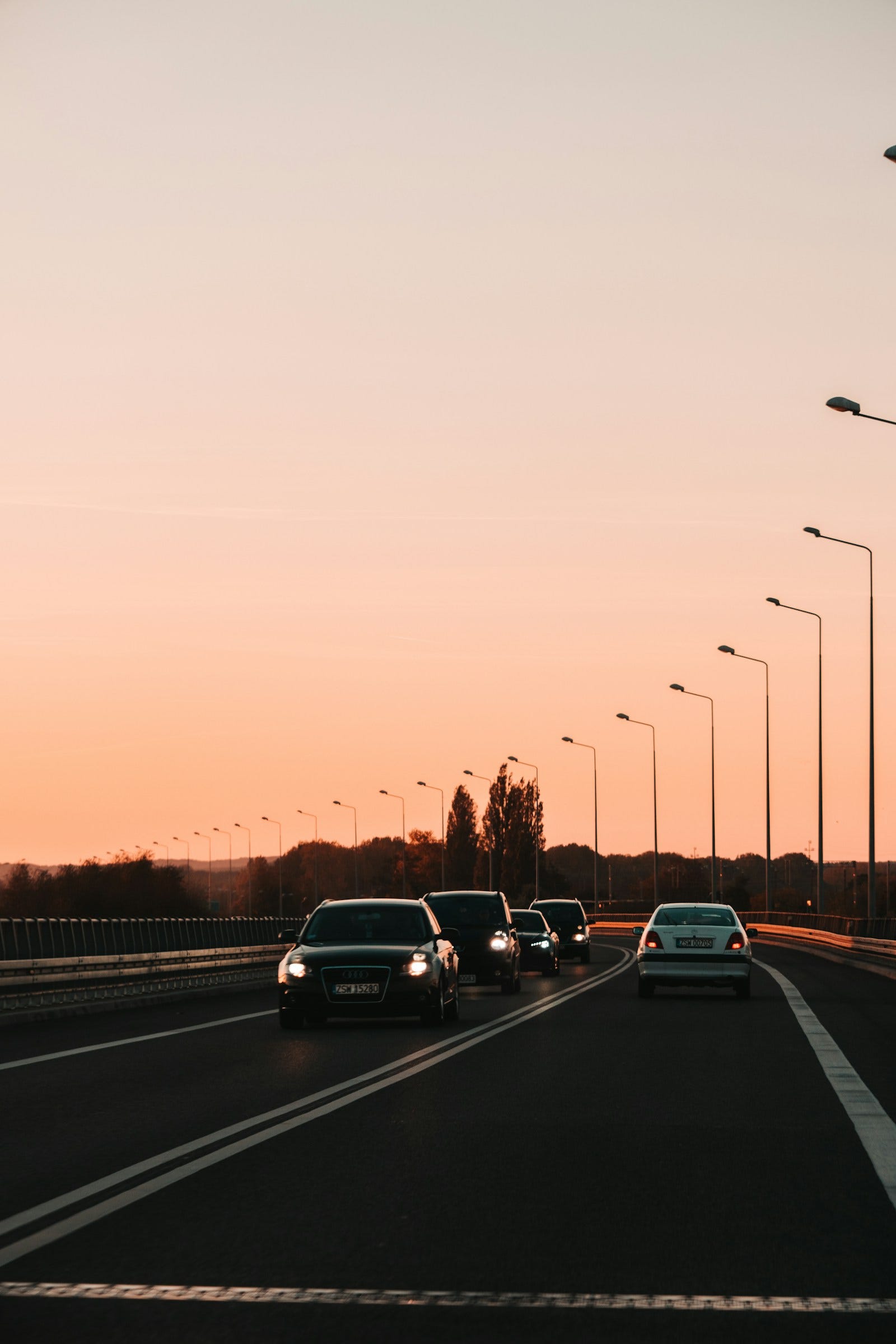
Quick answer: What is real-time convoy navigation? Real-time convoy navigation is a specialized group routing system that links multiple vehicles to a single, synchronized navigation itinerary while displaying live spatial positions of all drivers on a shared screen. Unlike standard solo GPS apps that calculate isolated routes, convoy navigation alerts lead drivers to trailing vehicle lag, maintains shared fuel and rest waypoints, and uses automated arrival notices so packs never splinter at highway junctions.
Every road trip starts with boundless optimism: playlists ready, fuel tanks full, snacks packed, and three or four carloads of friends pulling out of the driveway in a celebratory convoy.
Two hours later on the expressway, that optimism has devolved into familiar motoring frustration:
Car 1 accelerates through a highway toll plaza and cruises ahead at 100 km/h. Car 2 gets delayed behind a cash-lane semi-truck. Car 3, navigating on their own phone, takes an unexpected bypass flyover because their individual navigation app decided it was two minutes faster.
Suddenly, your cohesive group has split across three different highway corridors.
Passengers in the front seats are juggling phone calls, screaming over highway wind noise: "We just passed the McDonald's toll plaza, where are you guys?" Meanwhile, the driver in the trailing car is nervously glancing between their rearview mirror and an unhelpful messaging app showing a location dot that hasn't refreshed in 15 minutes.
Driving in a convoy is fundamentally different from solo commuting. When you travel together, navigation is a shared social activity, not an isolated computation.
This is where real-time convoy navigation transforms the road trip experience.
The Core Problem: Why Standard GPS Fails Convoys
The modern navigation systems installed on smartphones—including Google Maps and Apple Maps—are triumphs of algorithmic engineering. However, their core architecture is based on single-vehicle optimization.
SOLO GPS MODEL:
[Vehicle 1] ───> Cloud Traffic Server ───> Optimizes Route for Vehicle 1
[Vehicle 2] ───> Cloud Traffic Server ───> Optimizes Route for Vehicle 2 (Reroutes!)
Result: Vehicles take different roads during sudden traffic slowdowns.

REAL-TIME CONVOY MODEL:
[Convoy Leader] ──┐
[Vehicle 2]     ──┼──> Synchronized Convoy Engine ──> Locks ALL vehicles to the SAME Corridor
[Vehicle 3]     ──┘
Result: The pack stays together through all exits, toll plazas, and rest stops.
When you attempt to coordinate multiple vehicles using solo GPS tools:
- Divergent Rerouting: If minor traffic forms between Car 1 and Car 3, solo GPS silently alters Car 3's route down a backroad, fracturing the convoy without warning.
- Missing Spatial Context: Knowing a friend's latitude and longitude on a flat map doesn't tell you what lane they are in, whether they cleared the toll booth, or how many kilometers separate your bumpers.
- Driver Distraction: Looking at a separate messaging chat to verify location while driving is a major safety hazard.
4 Pillars of a Purpose-Built Convoy Navigation System
To maintain seamless cohesion across hundreds of highway kilometers, a true convoy navigation system integrates four essential capabilities:
1. Synchronized Route Geometry
Instead of sharing loose addresses, the convoy organizer establishes a master route containing:
- Specific designated highway corridors (avoiding accidental bypass splits)
- Ordered fuel waypoints
- Pre-selected lunch and coffee stops
- Defined regrouping laybys
In Wandr, all drivers enter a private 8-character invite code to sync their device to this master itinerary. No independent reroutes, no route ambiguity.
2. Live Fleet Radar Overlay
Convoy navigation displays fellow drivers directly onto your active turn-by-turn driving screen.
- The Lead Vehicle can monitor trailing car distances in real time without constantly checking side mirrors.
- Trailing drivers can see the lead car’s position ahead, eliminating anxiety about missed highway forks.
3. Automated Geofenced Check-Ins
Manual texting or radio chatter while driving is dangerous. In a modern convoy app, entering the boundary of a planned waypoint automatically triggers an arrival broadcast to the group chat: "📍 Car 2 arrived at Mysore Toll Plaza." The lead driver knows instantly when the pack has fully consolidated.
4. Passenger and Support Vehicle Mode
On long-distance multi-vehicle road trips, passengers or support chase vehicles do not require heavy turn-by-turn voice prompts. Wandr's Passenger Mode provides a lightweight, battery-saving map view that allows co-passengers to track the fleet and manage stop logistics without draining their device's battery.
Convoy App Comparison: How Solutions Stack Up
| Feature | WhatsApp Live | Google Maps | Family Locators (Life360) | Wandr Convoy Navigation |
|---|---|---|---|---|
| Shared Navigation Route | ❌ None | ❌ Independent | ❌ None | ✅ Synchronized Master Route |
| Turn-by-Turn Voice Guidance | ❌ None | ✅ Solo only | ❌ None | ✅ Integrated in-app directions |
| Battery Throttling at Stops | ❌ Drains fast | ⚠️ High drain | ⚠️ Moderate | ✅ Smart stationary throttling |
| Automated Arrival Alerts | ❌ None | ❌ None | ⚠️ Basic geofence | ✅ Waypoint-specific check-ins |
| Zero-Distraction Passenger View | ❌ Chat only | ❌ Same UI | ❌ Same UI | ✅ Dedicated Passenger Mode |
Practical Convoy Etiquette for Highway Touring
Even with sophisticated navigation software, disciplined driving habits ensure everyone arrives safely:
1. The Rubber Band Effect (Traffic Spacing)
Convoys naturally stretch and compress like a rubber band. When entering busy highway junctions or toll plazas, expect the gap between vehicles to widen.
- The rule: The lead driver does not speed away after clearing a toll barrier. They maintain a moderate cruising pace in the slow lane until the live convoy radar confirms the trailing vehicles have cleared the plaza.
2. The 3-Second Following Distance
Never follow the car ahead too closely to "keep the formation looking tight." Following too closely robs trailing drivers of forward hazard visibility and leaves zero braking room if the lead car swerves to avoid a pothole, tire retread, or road debris.
3. Clear Passing Protocols
On two-lane undivided highways, passing slow transport trucks requires patience. The lead vehicle passes first and signals when the road is clear, but every trailing vehicle must independently verify oncoming lane clearance before executing an overtake. Never blindly follow another car into an overtaking maneuver.
Frequently Asked Questions
What is the difference between fleet tracking and convoy navigation?
Fleet tracking (like commercial telematics or Life360) is passive monitoring designed for managers or parents to see where vehicles are. Convoy navigation is active, real-time driving guidance designed for drivers traveling together along a shared, coordinated route.
Can real-time convoy navigation work on mixed vehicle trips (cars and bikes)?
Yes. Mixed convoys often benefit most from convoy navigation. Motorcycles need frequent fuel stops and weather monitoring, while support cars carry luggage and spare tools. Convoy navigation bridges the gap, allowing both car drivers and motorcycle riders to share the exact same route and arrival status.
How does convoy navigation handle cellular dead zones?
Tools like Wandr keep the planned route and its stops cached on the phone, so the plan survives a signal drop. Live positions of other travellers need data, so the group map shows each person's last known position until they reconnect. Agree regroup points before known dead zones.
Road trips are meant to create lifelong memories, not roadside arguments over missed exits. With real-time convoy navigation, your group stays connected, informed, and synchronized from departure to arrival.
About WANDR: WANDR is an Android app for motorcycle group rides. It combines riding groups, saved route plans with waypoints, turn-by-turn navigation, a live map of every rider and trip chat in one app, and shows when each rider reaches a stop. It's built for riding clubs, ride organizers and friends riding together. Get WANDR on Google Play.
Related Guides from the Wandr Journal
Your next ride starts with WANDR.
Download free for Android. Keep your crew, your route, and your journey connected on every mile.