
Bangalore to Ooty Bike Trip Guide: Best Route, Ghat Road Safety & Group Itinerary (2026)
A complete route planner for riding from Bengaluru to Ooty via Mysore and Bandipur: 36 hairpin bends of Kalhatty, fuel math, and group coordination.
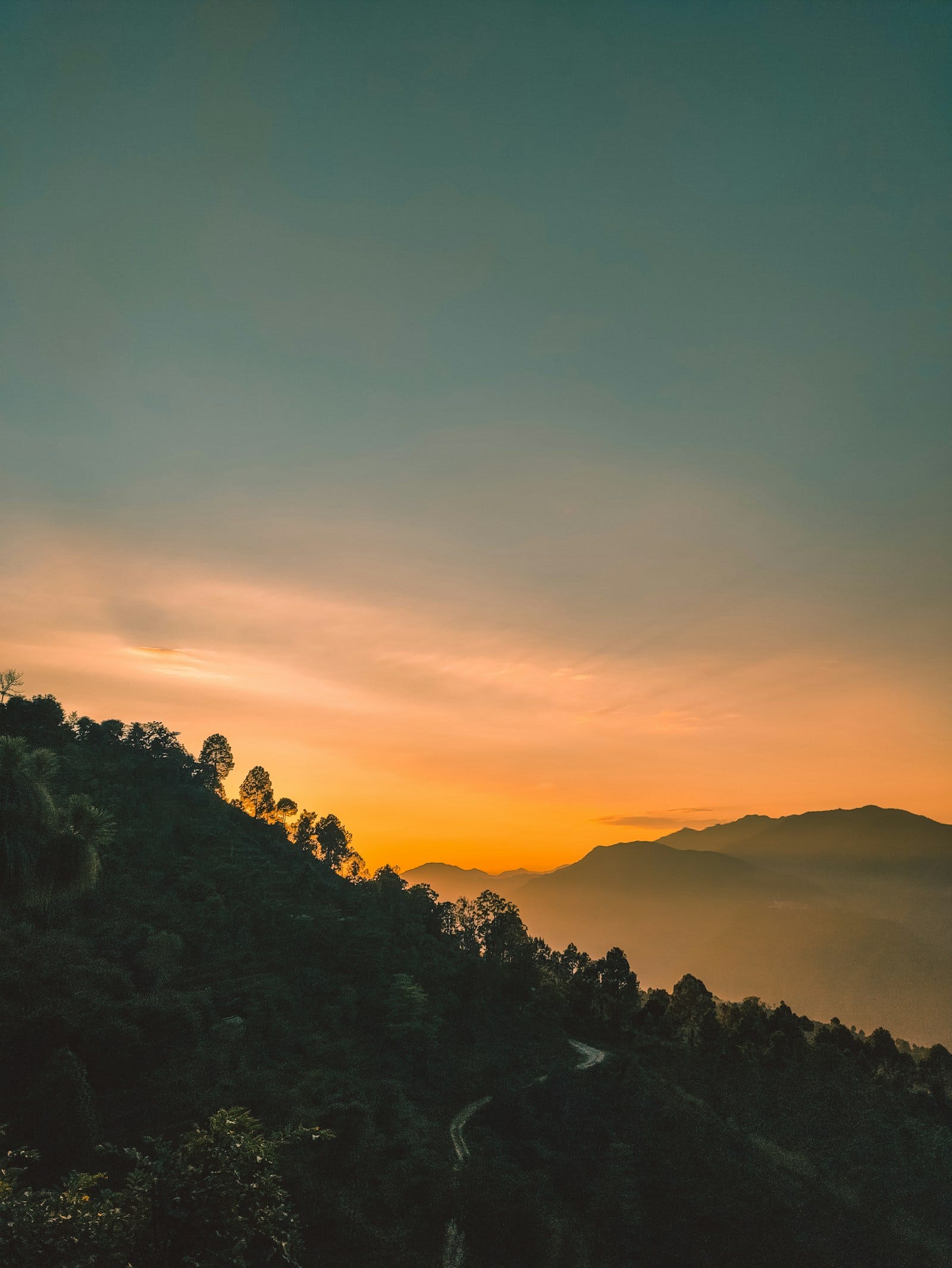
Quick answer: What is the best route for a Bangalore to Ooty bike trip? The most scenic and efficient route is Bengaluru → Mysuru (via the old service road or Kanakapura NH948, as two-wheelers are prohibited on the Bengaluru-Mysuru Expressway) → Nanjangud → Gundlupet → Bandipur Tiger Reserve → Theppakadu → Gudalur → Ooty (~280–300 km, 7–8 hours). If taking the steep 36 hairpin bends of Kalhatty Ghat via Masinagudi, note that police frequently restrict downhill traffic to private non-local vehicles and motorcycles. Riding in a pack requires cached offline routes and an active group ride tracker like Wandr to handle deep mountain dead zones.
For riders in South India, the ride from Bengaluru into the Nilgiri Hills is a rite of passage.
You roll out of the city in the pre-dawn chill, watch the eucalyptus-lined highways of Mysore give way to the forested silence of Bandipur Tiger Reserve, and climb into the misty tea gardens of Ooty.
Yet despite being one of India's most popular motorcycle touring corridors, the Bangalore-Ooty run presents serious logistical challenges for group rides:
- Two-wheelers are legally barred from the Bengaluru-Mysuru Expressway (NH275 access-controlled lanes), forcing groups onto service roads or the Kanakapura highway.
- Bandipur National Park enforces strict forest transit speeds (30 km/h) and bans roadside photography, making pack discipline critical.
- Cell phone coverage completely evaporates across sections of the Mudumalai and Nilgiri ghats.
- The infamous 36 hairpin bends of Kalhatty test brake thermal limits and clutch control to the extreme.
Here is the comprehensive organizer's guide to planning, executing, and leading a multi-bike group ride from Bangalore to Ooty.
Route Overview & Highway Segments
BENGALURU ──> KANAKAPURA / MYSURU ──> GUNDLUPET ──> BANDIPUR FOREST ──> GUDALUR ──> OOTY
  (6:00 AM)          (Breakfast)        (Fuel Stop)     (Speed limit 30)   (Ghat climbs)   (3:00 PM)
| Segment | Distance | Ideal Travel Time | Road Character & Cautions |
|---|---|---|---|
| Bengaluru to Mysore (via NH948 Kanakapura or NH275 Service Road) | 145 km | 3.5 hrs | Fast 2-lane & 4-lane roads; heavy morning commuter traffic |
| Mysore to Gundlupet (NH766) | 65 km | 1.5 hrs | Smooth 2-lane highway with tree cover; steady 70–80 km/h pace |
| Gundlupet to Bandipur Forest Checkpost | 20 km | 30 mins | Final retail fuel stop before the wildlife sanctuary |
| Bandipur & Mudumalai Forest Corridor | 35 km | 1 hr | Strict 30 km/h limit; no stopping, honking, or overtaking |
| Theppakadu to Ooty (via Gudalur) | 50 km | 2 hrs | Continuous winding curves; moist tarmac; truck traffic |
Route Choice: Avoiding the Expressway Ban
The 10-lane Bengaluru-Mysuru Expressway (NH275) strictly prohibits two-wheelers, auto-rickshaws, and non-motorized transport. Highway patrol police actively enforce this rule at entry ramps with steep spot fines.
For motorcycle groups, there are two primary options:
Option A: The Kanakapura Corridor (NH948) — Recommended for Weekend Packs
Route: Bengaluru (NICE Road exit) → Kanakapura → Malavalli → Bannur → Mysore.
- Why riders prefer it: Smooth surface, lush countryside scenery, and significantly fewer commercial trucks than the old Bidadi service roads.
- Breakfast stop: Renowned South Indian breakfast stops near Malavalli or Bannur.
Option B: Old Mysore Highway Service Road (NH275 Service Lanes)
Route: Kengeri → Bidadi → Ramanagara → Channapatna → Maddur → Mandya.
- Caution: Heavy local vehicular traffic, unannounced intersection speed breakers, and frequent village crossings. If your pack exceeds 6–8 bikes, maintaining tight formation here is exhausting.
Mastering the Kalhatty 36 Hairpin Ghats vs Gudalur Route
When you cross the Karnataka-Tamil Nadu border at Kakkanallah / Theppakadu, you face two paths to reach Ooty:
1. The Gudalur Route (NH181) — The Safe Group Route
- Character: Longer (~50 km from Theppakadu), gradual ascent through eucalyptus trees and tea estates.
- Safety: Gentle gradients suitable for all rider experience levels and heavily loaded touring bikes.
- Recommendation: Always route large riding groups via Gudalur.
2. The Kalhatty Ghat via Masinagudi (36 Hairpin Bends)
- Character: Extreme 1:5 gradient climb over just 12 kilometers.
- Current Regulations: Local Nilgiris district authorities and Tamil Nadu police frequently restrict non-local vehicles and motorcycles on the downhill return route due to brake failures on private vehicles.
- Riding Technique:
- Always climb in 2nd or 1st gear. Never lug your engine in 3rd gear through uphill hairpin turns.
- On blind hairpins, honk early and stay on the outer radius until oncoming descending buses or commercial jeeps clear the curve.
- Never coast downhill in neutral or ride your rear brake continuously; hot brake fluid leads to instant vapor lock and total brake failure.
Group Formation & Wildlife Etiquette in Bandipur
Bandipur Tiger Reserve and Mudumalai National Park are protected ecological sanctuaries. Forest officials do not tolerate rowdy convoy behavior.
FOREST CONVOY DISCIPLINE:
[Lead Rider] ──── 30 meters ──── [Rider 2] ──── 30 meters ──── [Sweep Rider]
  (30 km/h)                        (No Revving)                     (First Aid)
- Single File Only: Shift out of staggered formation and ride strictly in a single, spaced-out line.
- Speed Restriction (30 km/h): Maintain steady, low-RPM cruising. High-revving aftermarket exhausts disturb elephant corridors and result in vehicle seizure by forest guards.
- Zero Stopping: Under Wildlife Protection Act rules, stopping on the forest tarmac, stepping off your bike, or taking selfies with spotted deer or elephants is strictly illegal.
- Night Travel Curfew: The Bandipur forest checkpost closes from 9:00 PM to 6:00 AM daily. Plan your ride to enter the forest before 5:00 PM.
Solving the Forest and Ghat Cellular Dead Zone
From the moment you enter Bandipur until you reach Gudalur town, commercial 4G/5G mobile signals drop dramatically across all Indian network providers.
In dead zones, messaging apps like WhatsApp freeze completely. If a rider lags behind due to slow forest traffic or a flat tire, messaging apps show obsolete timestamps.
How Wandr Manages Deep Dead Zones:
- Cached Route Vectors: Route geometry and planned waypoints stay cached on the phone, so the plan is still there when signal drops. Download offline Google Maps areas for the ghat sections too, and agree regroup points before you lose network.
- Last Known Position Memory: If a rider enters a signal shadow in Mudumalai, the lead and sweep riders still see their last verified coordinate and timestamp on the live map until connectivity resumes.
- Stationary GPS Throttling: Long stops at the Tamil Nadu border checkpost or tea plantation pull-offs automatically reduce GPS refresh rates, preventing phones from overheating under high-humidity ghat conditions.
4 Mandatory Stops for Your Bangalore-Ooty Itinerary
- Chai & Breakfast: Malavalli or Bannur (65 km from Bangalore) — Regroup after navigating morning city exits.
- Fuel & Tire Pressure: Gundlupet town — Crucial: Fill tanks to 100% here. Fuel inside wildlife corridors is non-existent, and hill station petrol pumps often have long tourist queues.
- Forest Check-in: Bandipur Forest Toll Gate — Brief riders on zero-honking rules and check vehicle PUC / registration documents.
- Regrouping Point: Gudalur Town Center — Reconnect all riders before beginning the continuous climb into Ooty.
Frequently Asked Questions
Are bikes allowed on the Bangalore-Mysore Expressway?
No. Two-wheelers, auto-rickshaws, and tractors are banned on the access-controlled main carriageway. Bikers must take the service roads or the NH948 Kanakapura route.
Is riding via Kalhatty 36 hairpins allowed for tourists?
Climbing uphill via Masinagudi and Kalhatty is sometimes permitted depending on weather and police discretion, but descending downhill is strictly prohibited for non-TN-43 registered vehicles and private tourists to avoid fatal brake failures. Descend via Gudalur instead.
What time does the Bandipur forest road close?
The forest transit road on NH766 and NH181 is closed to vehicular traffic from 9:00 PM to 6:00 AM every night to protect wildlife.
A successful Bangalore to Ooty bike trip is about the rhythm of the ride: clean formations, disciplined pacing through the forests, and smooth throttle control through the ghats.
About WANDR: WANDR is an Android app for motorcycle group rides. It combines riding groups, saved route plans with waypoints, turn-by-turn navigation, a live map of every rider and trip chat in one app, and shows when each rider reaches a stop. It's built for riding clubs, ride organizers and friends riding together. Get WANDR on Google Play.
Related Guides from the Wandr Journal
Your next ride starts with WANDR.
Download free for Android. Keep your crew, your route, and your journey connected on every mile.